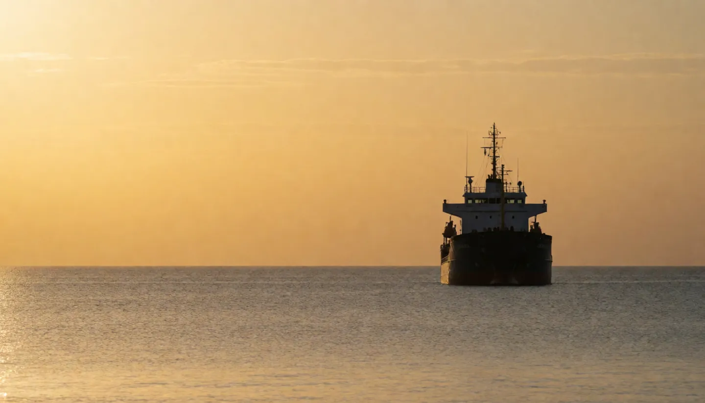
Big ships carry an Automatic Identification System, or AIS: a VHF radio that broadcasts the ship's identity, position, course and speed to nearby ships and shore stations, every few seconds when under way.
It goes to appropriately equipped shore stations, other ships and aircraft. On an electronic chart, every ship in range can appear as a symbol with its course.
Ships of 300 gross tonnage and upwards on international voyages, larger domestic cargo ships and all passenger ships must carry AIS. Smaller boats may use Class B sets.
Pick a kind of AIS station to see how often it sends its position. The bar shows how frequently it reports.
Based on the US Coast Guard Navigation Center's summary of AIS types (ITU-R M.1371 and IEC standards).
TWO NUMBERS WORTH KNOWING
How fast, how far.
One figure for the update rate, one for how far a signal usually reaches.
4,500
Time slots every minute
AIS can handle well over 4,500 reports a minute, against an IMO minimum of 2,000. Each position report fits into one of 2,250 time slots set every 60 seconds.
CAPACITY · USCG NAVCEN
≈ 20 NM
Typical range at sea
Coverage is like other VHF radio and depends mostly on aerial height. A typical value at sea is nominally 20 nautical miles; repeater stations extend it.
RANGE · USCG NAVCEN
AIS propagates slightly better than radar thanks to its longer wavelength, so it can sometimes 'see' around bends and behind islands if the land is not too high.
READING A LIVE MAP
What the icons tell you.
A live ship tracker shows the same AIS messages ships use on the bridge, gathered by receivers on shore.
Find the name and number
Each station has an MMSI number. Ships also send their name, call sign and type.
Read course and speed
The heading line on an icon comes from course and speed over ground, normally provided by all AIS ships.
Check the status
Navigational status shows whether a ship is under way, at anchor or moored. Destination and ETA may be included too.
Expect gaps
Range is limited, Class B boats report less often, and flag states can exempt some ships, so a map is never a complete picture.
AI-generated image, not a photograph of a real person or place.AI-generated image, not a photograph of a real person or place.
HOW IT WORKS
Taking turns on the radio.
Each AIS set has a VHF transmitter, receivers and a satellite navigation receiver for position and timing. Stations pick their own time slots on two radio channels and stay synchronised so they do not talk over each other.
In overload, distant ships drop out first so nearby ships, the real collision risk, stay visible. IMO adopted the carriage rule in 2000 and it applied to all required ships by 31 December 2004.
Questions
Questions people ask
Where do live ship maps get their data?
From AIS messages that ships broadcast on VHF radio. Receivers on shore and elsewhere pick them up and the positions are plotted on a map.
Do all boats have AIS?
No. It is required on ships of 300 gross tonnage and upwards on international voyages, cargo ships of 500 gross tonnage and upwards on domestic voyages, and all passenger ships. Flag states can exempt some ships.
How often does a ship's position update?
A Class A ship under way reports every 2 to 10 seconds; at anchor, every three minutes or less. Class B sets report less often.
How far does AIS reach?
It depends mostly on aerial height. The US Coast Guard gives a typical value at sea of about 20 nautical miles.
Is publishing AIS data controversial?
Yes. In 2004 IMO's Maritime Safety Committee said publishing AIS data on the web could harm the safety and security of ships and port facilities.